Oil & Gas
Drone Solutions in
Action

Vulcan SX + Vision Aerial OGI Scout
Gas Leak
Detection
Drones equipped with certified OGI sensors can spot methane and VOCs mid-flight — no shutdown required. Fly over lengthy pipeline spans or holding facilities.
What should I fly?
Drone: Vulcan SX — The advanced stabilization mechanism enables gas sensing technologies to function at their best. Waypoint mission planning and live recording make it easier to fly for inspection and repair confirmation.
Payload: Vision Aerial OGI Scout— Senses over 60 different gases including methane, propane, and butane by leveraging the Sierra-Olympia Ventus OGI core. Use the Gas Enhancement Mode (GEM) to quickly toggle between colorization modes, which helps you visualize leaks better and faster.
Software: MarkPoint— Streamlined in-field workflow lets you identify, mark, and report on leak incidents — before you even get back to the office. You can use MarkPoint reports to document an incident AND document the repair, which reduces potential fines.

Vulcan SX + FLIR Hadron 640R
Flare Stack Inspections
Get close, safely. Thermal and visible (EO/IR) sensors mounted on a nimble platform give you live diagnostics while operations continue. Find slipped hydrocarbons, corrosion or cracks quickly so you can make repairs quickly.
What should I fly?
Drone: Vulcan SX — The tricopter design of the Vulcan SX means you get precision hovering for maneuvering around the flare stack and getting pictures from multiple angles.
Payload: FLIR Hadron 640R— With the dual thermal and visible sensor, you can fly one mission to both visually inspect the surface to find cracks or structure damage, and detect hotspots that might indicate potential problems like insulation failures or gas leaks within the flare stack.
Software: Pix4D— Create 3D models and orthomosaics to visualize the flare stack and identify potential issues.
Alternative Bundle: Vector+GeoCue TV 1— If you need detailed 3D models, the Vector can carry heavier LiDAR such as the GeoCue TV 1.
Alternative bundle: SwitchBlade-Elite+Sony ILX-LR1— If you need detailed 3D models, such as to use with asset management systems, the Sony ILX-LR1 can deliver.
Vulcan SX + Sony ILX-LR1
Tank Farm Mapping
Generate accurate 2D maps or 3D models for asset management and leak risk detection using LiDAR or photogrammetry.
What should I fly?
Drone: Vulcan SX — The trirotor design of the Vulcan SX means you can fly around, above, beside, and between. This is a requirement for complex tank farm layouts that a fixed wing drone just can’t deliver.
Payload: Sony ILX-LR1— High resolution images deliver the mapping precision you need, whether you’re looking for accurate 2D maps or detailed 3D models.
Software: Pix4D Mapper— Stitch together your pictures into orthomosaics, digital surface models (DSMs), and 3D point clouds from the collected data.
Accessories:RTK ProfiCNC GNSS— For improved data precision and accuracy.
Alternative bundle: Vector + GeoCue TV 1— When you have a bigger project or need even greater detail, the Vector hexacopter flying the GeoCue TV 1 gives you that extra power pus LiDAR.
Other Use Cases
Whether you're scanning flare stacks, mapping tank farms, or monitoring environmental risks, Vision Aerial gives you reliable, adaptable tools to reduce downtime and improve asset intelligence.
Emergency response: Swiftly assess situations like oil spills or fires, providing real-time data to response teams.
Recommended bundle: Vulcan SX + FLIR Hadron 640R or Sony ILX-LR1
Infrastructure inspection and monitoring: Capture detailed inspection or construction data for pipelines, storage tanks, flare stacks, and refinery facilities.
Recommended bundle: Vulcan SX + FLIR Hadron 640R or Sony ILX-LR1, or Vector + GeoCue TV 1
Pipeline inspection: The optimized cruise efficiency of the Vulcan SX means you can get all the way down the line, every time.
Recommended bundle: Vulcan SX + Sony ILX-LR1
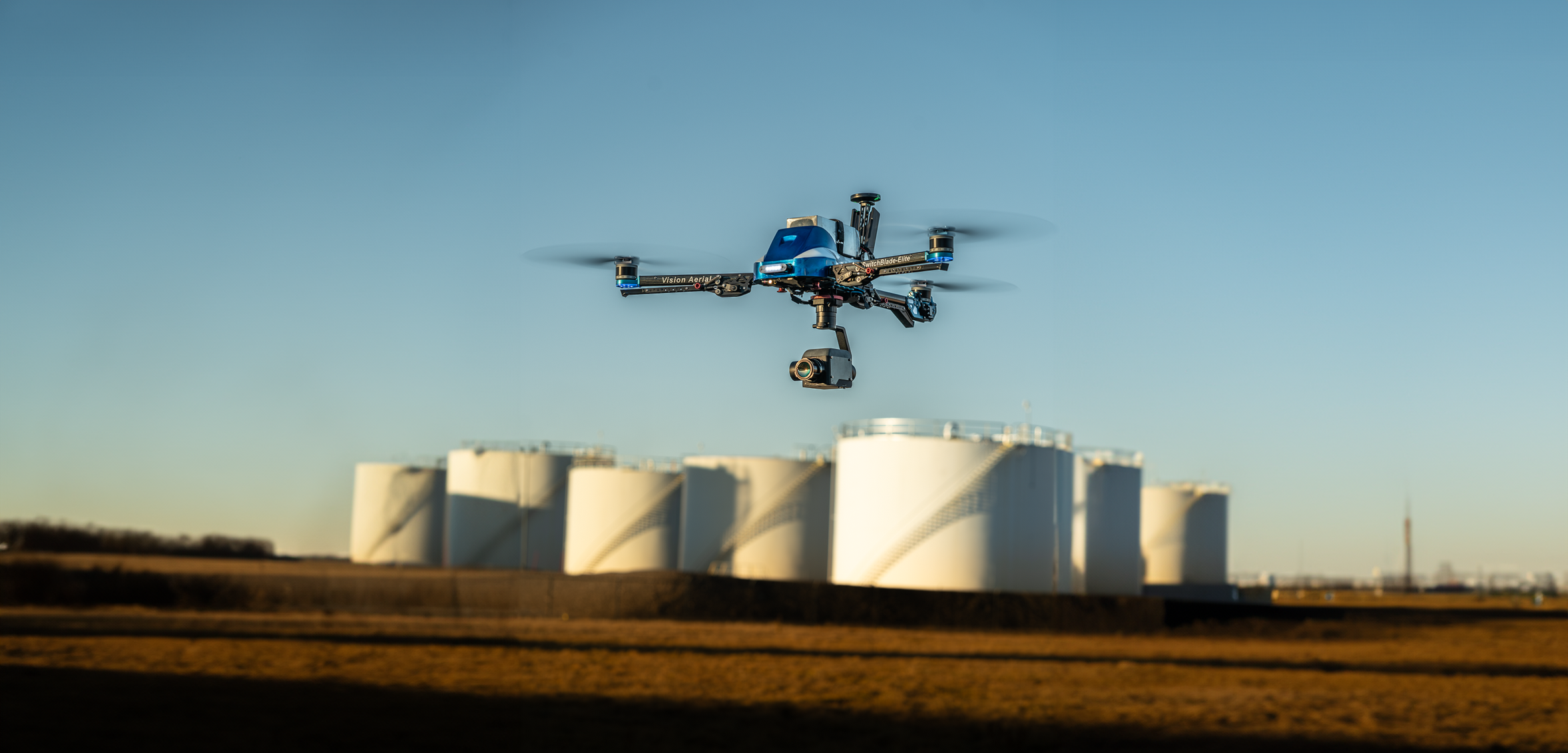
“From precise methane leak detection to rapid deployment across challenging terrain, the SwitchBlade-Elite proved why it’s a game-changer."
- DSP flying O&G missions -
Why do you need Vision Aerial
in your Oil & Gas Drone Toolbox
Built to work.
Carry industrial-grade sensors and dual sensor payloads without sacrificing endurance or flight time.
Portable.
With a 2 minute setup and tear down, you can quickly move between job sites.
Versatile.
Enable consistent data capture over time for compliance and change detection.
Safe to fly.
Reduce worker exposure to confined spaces, heights, and volatile environments.
FAQ
What’s your flight time with a thermal + RGB payload?
The FLIR Hadron 640R is one of the lightest EO/IR cameras on the market, which helps you extend flight times up to 50 minutes, depending on payload and conditions — enough to fully inspect most mid-sized facilities in one flight. If you have a larger facility, you can use the Indefinite Flight Package to fly, well, indefinitely.
Do you offer OGI for gas leaks?
Yes. Our platforms can carry the Vision Aerial OGI Scout. The OGI Scout is equipped with the Sierra-Olympia Ventus OGI core, and also comes standard with the Vision Aerial MarkPoint software for in field documentation that streamlines and improves workflows.
Can your drones carry certified gas leak sensors?
Yes. Our platforms are seamless integrated with the Vision Aerial OGI Scout, which carries the Sierra-Olympia Ventus OGI core. The Ventus OGI supports an alternate to EPA Method 21 and meets the requirements of EPA OOOOa, OOOOb, and OOOOc regulations, as well as Appendix K.